|
I used the Luce County DEM from the Michigan CGI. My focus was primarily on the Tahquamenon Fall’s located in the Upper Peninsula. If you ever get a chance to go there – you’ll find an Upper Fall’s and a Lower Fall’s. They are both spectacular; however I did the Upper Tahquamenon Fall’s and used a map inset picture of the Falls when the leaves were peak color.
Add caption |
 |
The Tahquamenon River watershed is located in the north central portion of the Eastern Upper Peninsula. The river originates from the center of three Tahquamenon Lakes which occur about 0.5 miles east of the border between Alger and Schoolcraft counties at an elevation of 880 ft.
From there, the river flows 87 mi to Lake Superior, draining a 790 square mile watershed. Its path is generally south for 10 mi, east for 42 mi, north for 14 mi, and then after the Upper Falls, it meanders with wide curves and high banks easterly 21 mi to Lake Superior.
I used the fill tool for the sinks, generated the Flow Accumulation, and added a new shapefile to create a point on the streams to generate the watershed.
|

 |
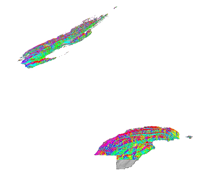
Next, I used “Extract by Mask” tool from the original DEM and the Watershed. Generated the Slope and finally, used the raster calculator to put the Sediment Transport Index formula in “Power (“watershedFlowAccumulation” /22.13,06) *Power(Sin(“Slope_Extrac1” /0.0896),1.3)
The Upper River segment is the headwater portion of the Tahquamenon River and the area of highest gradient as the river flows across glacial outwash deposits. Total length of this segment is 10.4 mi.
In profile, the mainstream drainage emerges from a series of steep rolling sand hills, dropping quickly to the three Tahquamenon Lakes. The Tahquamenon Lakes collate drainage from smaller basins higher in elevation, and the river originates from the central lake.
After flowing under County Road 422, the stream falls in a series of gravel riffles and sand-bottomed pools for about 10 mi to County Road 442. Just west of County Road 442, the stream flattens out into a small swampy “spreads,” consisting of braided channel morphology fringed with tag alder and cedar. The river pinches back together at County Road 442, and then opens up again into a spreads flowage. No streams join the Tahquamenon through this section. Water in this section is cold, designated for trout,
with a stable annual flow.
|


 |
| I performed both sediment transport for this area and a watershed delination. For the watershed delination the steps performed were to download the DEM from the CGI site. Fill the sink. Create flow direction map. Create flow accumulation a map. Digitize pour point. Finally, use watershed tool to generate watershed. |